Resources
2010-10-15
data, code samples, logs...
Here you can find resources (data, code examples, logs, etc.) for Robotour 2011
contest …
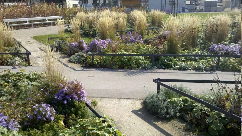
Park Selection
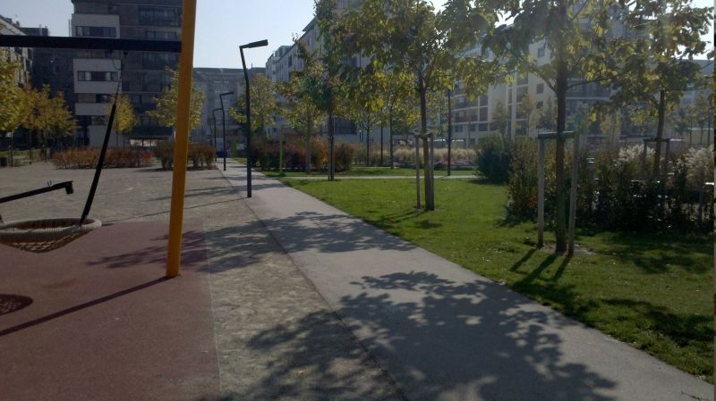
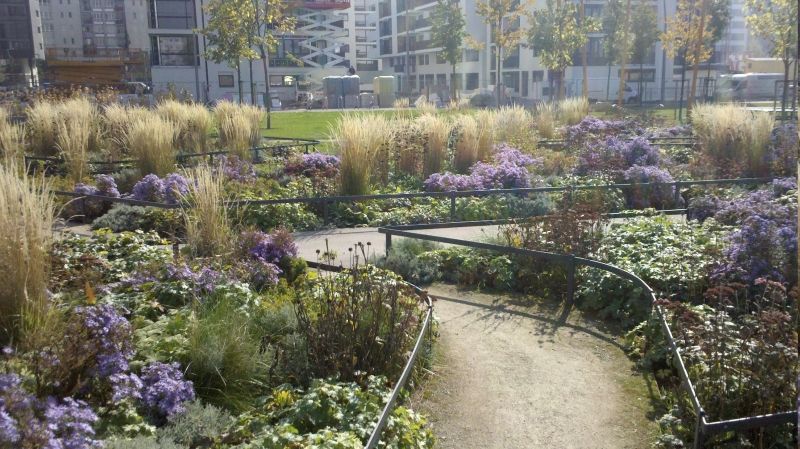
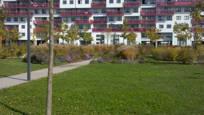
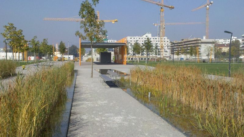
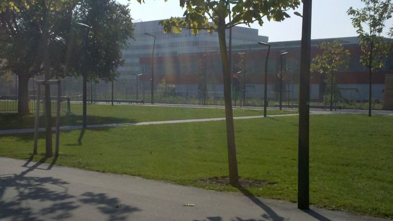
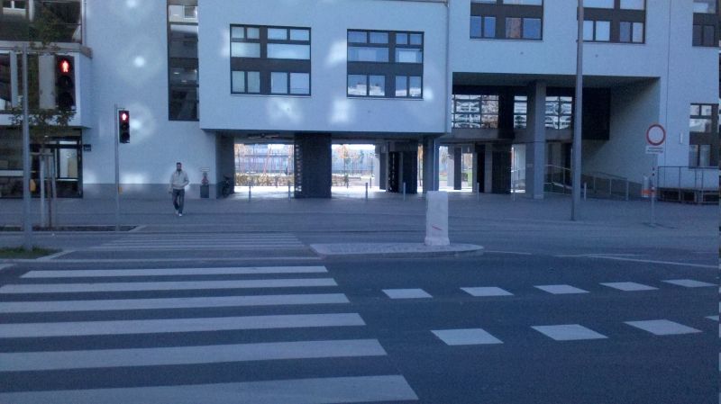
Candidate 1 — Rudolf Bednar Park
The roads on Open Street Map are more or less correct. There are some narrower
(about 1m wide) winding roads in the middle of the park. Furthermore a few
paths could be added to the map between the shallow water pools to navigate in
between of them (they are just a few cm deep, but nevertheless can be thrilling
for the robots). The park is relatively small, everything is within sight. The
park is new, so the trees are small enough not to disturb GPS too much.
Plus
- near Happy Lab (200m, base for teams)
- new park where robots could be seen from distance
Minus
- base is too far
- road network is rather simple
Photo (Roland Stelzer)
Candidate 2 — The Augarten
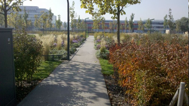
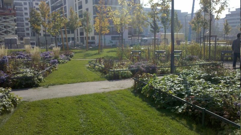
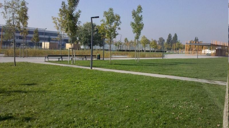
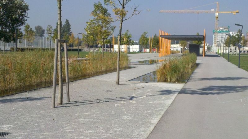
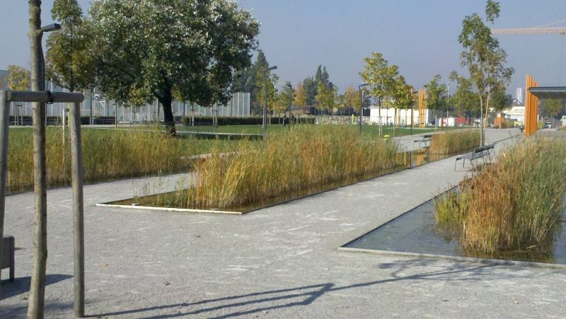
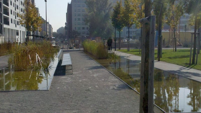
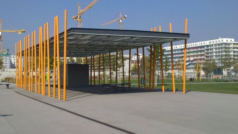
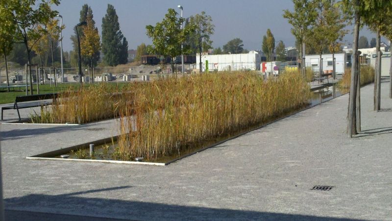
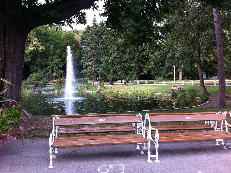
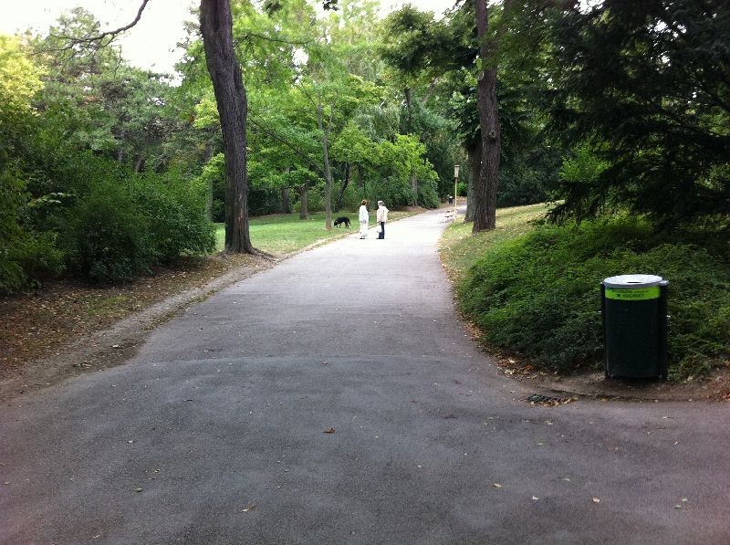
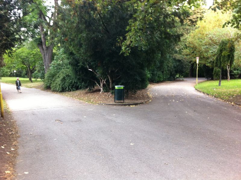
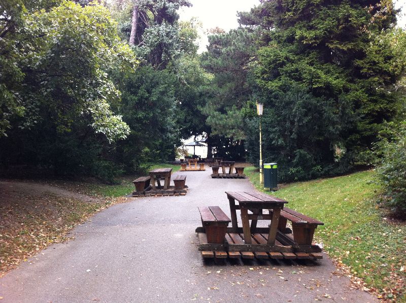
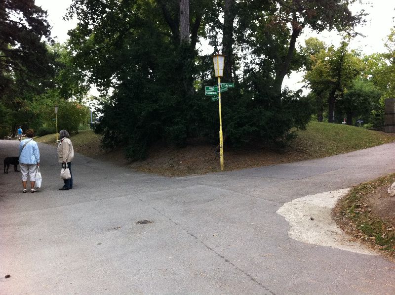
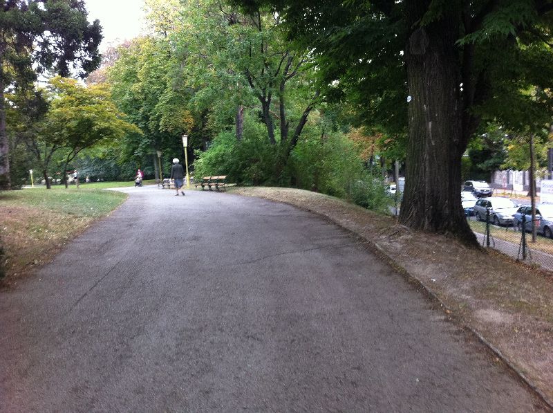
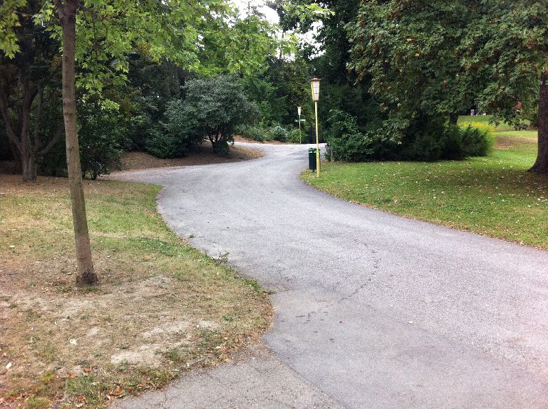
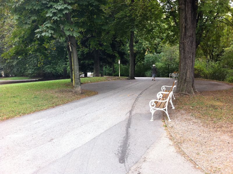
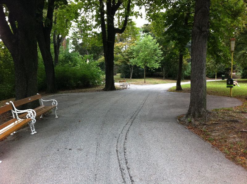
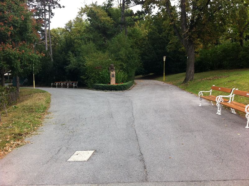
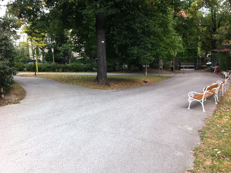
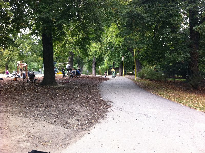
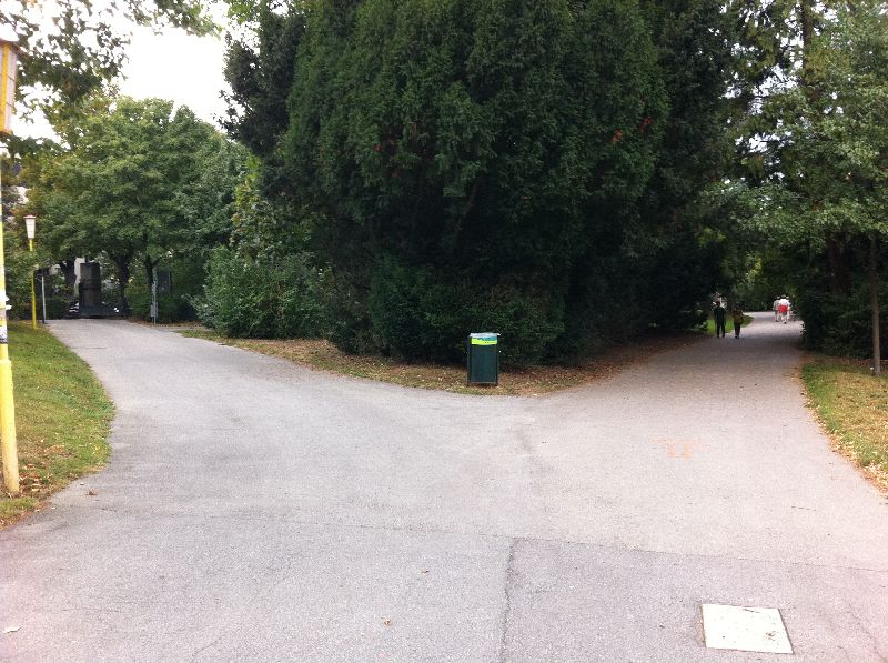
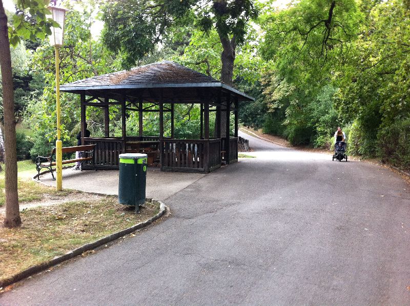
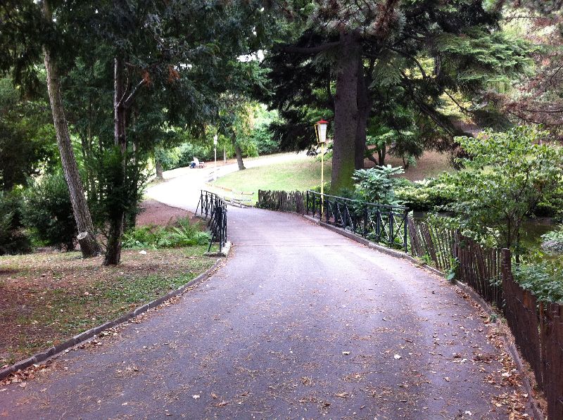
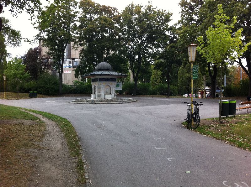
Candidate 3 — Türkenschanzpark (SELECTED)
Photo (Philipp Kartas)
Mapping
Tags for OSM contest roads
Robot should use existing tags like highway (typically with value
footway). Useful could be also tag width describing width of the road
in meters or surface, with values (paved / unpaved / asphalt / concrete /
paving_stones / cobblestone / metal / wood / grass_paver / gravel / pebblestone
/ grass / ground / earth / dirt / mud / sand / ice_road) possibly
smoothness, with values (excellent / good / intermediate / bad / very_bad /
horrible / very_horrible / impassable).
The last edit: 26th of May, 2011.
Send email to the editors
Your message could not be sent
but you can also reach us at webmaster-at-robotika.cz
Your message was successfully sent.
You need to turn on javascript to submit this form.